Once upon a time, people oriented themselves by the stars. Now everything is much easier – just take your phone out of your pocket, type in the desired address into Yandex.maps, and they will plot a route. Or turn on the navigator in the car. Or look at the “smart watch” – there are many ways. But did you know what the first navigation devices looked like?
The first navigator appeared in 1920. The Plus Fours Routefinder, which looked like a watch, came with maps. You had to turn them by hand.
We should have added this device to the History of smart watches. After all, only 90 years will pass, and watches like Pebble will perform the function of a navigator.
The next generation navigator, the Iter-Auto, appeared in 1930. Its main difference from the Plus Fours Routefinder was in automatic scrolling of the map – and the speed at which the mechanism did it depended on the speed of the car. But if the driver turned off the road, he had to take out the map, look for the right one, put it into the navigator and look for his current location.
General Motors in 1966 released Driver Aid Information and Routing. The system was designed to assist the driver and take over some of the driver’s functions so that he could concentrate, actually, on driving. Among the useful features is the ability to call emergency or information services by radiotelephone. Press release of February 1, 1967. Perforated maps were used as media: the navigator used them to navigate and inform about the speed limit, direction and other important factors.
In 1957, the Soviet Union sent the first artificial satellite into space. American scientists observed the signal emanating from the satellite and discovered that, due to the Doppler effect, the frequency of the received signal increases as the satellite approaches and decreases as it recedes. Therefore, knowing your own coordinates, you can find out the position and speed of the satellite, and knowing the position of the satellite, you can determine your own speed and coordinates. Technology of global satellite navigation: what are the systems, parameters and functions.
In 1974, the idea of satellite navigation was realized and the United States launched the first of the 24 GPS satellites needed to cover the entire Earth. The last of them was launched in 1994. There are currently 32 of these satellites.
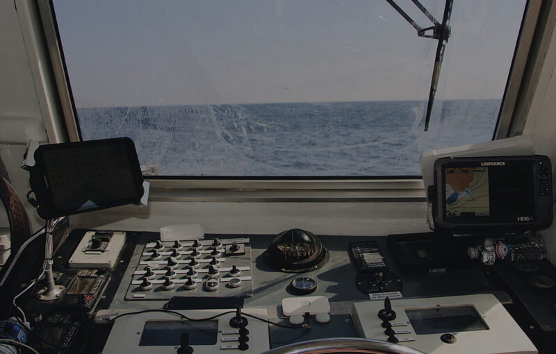
The first GPS receiver, designed for the U.S. military, was a two-seater with wheels. It weighed about 122 kilograms. In 1983, it was decided to create a civilian GPS system.
In 1985, the first mass navigator – The Etak Navigator – appears in the USA. The color of the display is a pleasant green. Of course, it was impossible to watch music or films on it, but it was up to the job. Maps for it were stored on tape.
In 1991, The Etak Navigator appeared in the movie Nothing But Trouble. He and Demi Moore’s leg are in the frame.
January or February 1991, Operation Desert Storm. GPS-navigator, installed in the Hummer.
The first receiver designed to work with both GLONASS and GPS at the same time was released in 1995 by Ashtech. It was not intended for the mass market.
And five years later, the first smartphone with GPS appeared on the market: the Benefon ESC. It was available to the mass consumer.
The first smartphone, equipped with GLONASS receiver, went on sale in 2011 – MTS 945.
Currently, the role of a navigator can be performed not only by special gadgets, but also by smartphones and a variety of wearable devices – watches and glasses. For example, Google Glasses allow the driver not to be distracted from the road.
Going back to the watch – the Pebble app allows you to display cues about where to go next, right on your wristwatch. That’s one of 10 uses for this gadget. It works in conjunction with an app running on your smartphone.