A navigator is a special device that is designed to determine its location using the global satellite positioning system. Currently, the main such systems are GPS and GLONASS.
Purpose of the navigator
Navigators give the user information about the latitude and longitude, as well as the altitude of his location. However, such information is more suitable for specialists, who measure the earth. A regular user will find this information superfluous, however, navigators are increasingly used in daily life.
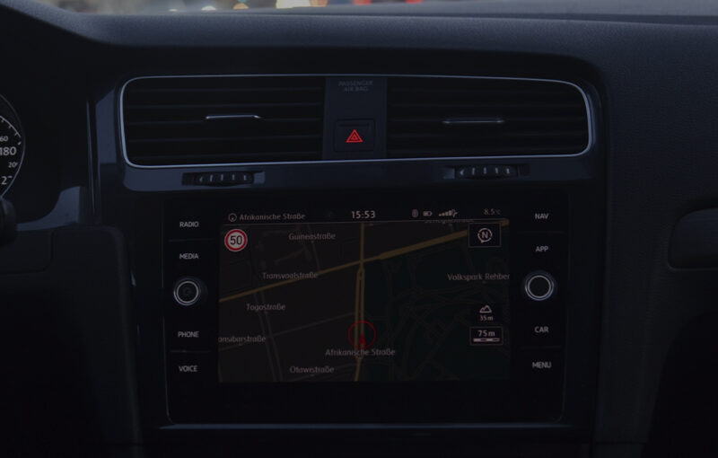
Facilitates the use of the navigator, the display of the device shows a map of the area and the route. Using the map on the screen you can visually determine your location relative to various objects (settlements, streets, houses, etc.) and plan your route.
GPS (Global Positioning System) is a global positioning (navigation) system developed, implemented and operated by the US Department of Defense, originally intended to be used exclusively for military purposes, but over time has become dual-use and is widely used today for civilian purposes. This system makes it possible to determine the spatial position and speed of an object anywhere on the planet (with the exception of circumpolar areas) at any time and in any weather. It consists of 24 artificial satellites NAVSTAR (Navigation Satellite Time and Ranging) and an unlimited number of GPS receivers. Satellites of the system are located at an altitude of 20200 km and move around the Earth on six differently located relative to each other orbits (Fig. 1). The number and location of orbits, as well as the number of satellites in each orbit was chosen so that from any point on the Earth’s surface at any given time, providing simultaneous direct visibility of at least four spacecraft. In fact, each of the satellites is a transmitter, operating at a frequency of 1.227 and 1.575 GHz. The signal transmitted by the satellite contains information about the satellite itself, its position relative to the other satellites in the system, and the timing of the signal. Simply put, the satellite transmits the information that I am satellite so-and-so, I am there, the message was sent at so-and-so time. The signals transmitted by the satellites are received and processed by the user’s GPS receivers.
A GPS receiver works in two stages: first, it receives and stores the messages from the satellites and then, when the accumulated data is sufficient, processes it and provides the information to the user. The principle underlying the GPS receiver is relatively simple. The GPS receiver receives signals and determines its own coordinates based on the time delay of the signal from the satellite to the receiver.
A GPS receiver itself is a rather primitive device and is a compact module consisting of an antenna, a chipset and a storage device (Fig. 2). All it can do is to determine its coordinates. To provide results in a more user-understandable form, such as graphic and sound, the GPS receiver needs an additional device with a screen, speaker and navigation software installed. The function of such an additional device may perform, for example, a laptop, tablet, smartphone, PDA. As an option, the GPS-receiver can be used to determine its location, but it is better, of course, to use the GPS-navigator for these purposes.